Explore tens of thousands of real-world routes filmed on location. From iconic climbs to hidden backroads to famous pro race courses, discover new places and experience bucket-list rides. Enjoy unmatched variety – without leaving home.
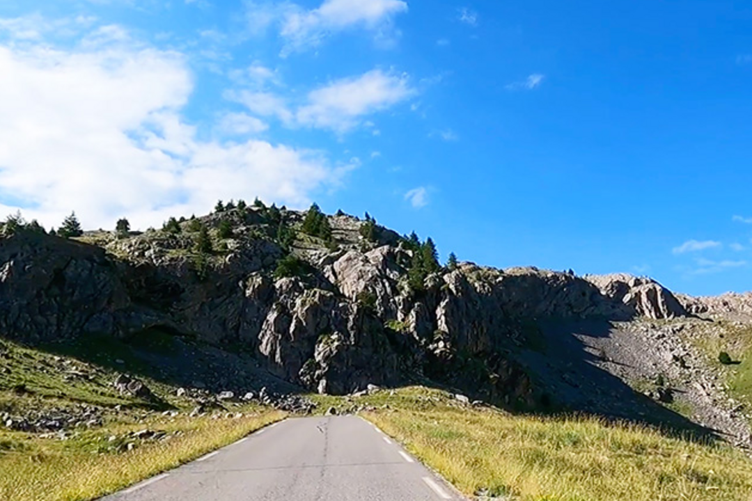
Cime de la Bonette from Lans | France
Climb the second-highest paved road in the Alps and the highest point reached by the Tour de France. It is situated within the Mercantour National Par …
14.08 km
968 m
01:35:40
Route profile
14.08 km
968 m
13.76 %
Route details
- Country
 France
- Avg grade
- 7.01 %
- Max grade
- 13.76 %
- Elevation
- 968 m
- Rating
- 4.8(1169x)
- Distance
- 14.08 km
- Estimated time
- 01:35:40

56,000+ REAL-WORLD ROUTES! RIDE THEM ALL ON ROUVY

How to start riding on the ROUVY indoor cycling app
Getting started on ROUVY is simple. Connect your bike to a smart trainer, pair it with a device (computer, tablet, computer, etc.) and log into the app to begin training. You can try everything risk-free with a 7-day free ROUVY trial.
Product
Ride with ROUVY
Company
ROUVY blog
Copyright ©2026, VirtualTraining s.r.o. All rights reserved.